The Region 4 CII Permit does not apply one identical five-acre test to every property. The correct measurement depends first on whether the qualifying site is covered by another NPDES stormwater permit.
For a CII site without other NPDES stormwater coverage, the threshold is five or more acres of impervious surface. For a CII site covered by another NPDES stormwater permit, the threshold is five or more acres of total area.
Acreage is only one part of the screening process. The property must also be a qualifying privately owned CII site within one of the two designated watershed areas. Existing IGP, NEC, NONA, partial-coverage, and individual-permit circumstances can affect the final analysis.

TL;DR
- The Los Angeles Water Board adopted Order R4-2026-0226 on July 23, 2026. It becomes effective on October 31, 2026.
- A qualifying CII site not covered by another NPDES stormwater permit uses the threshold of five or more acres of impervious surface.
- A qualifying CII site covered by another NPDES stormwater permit uses the threshold of five or more acres of total area.
- Five acres alone does not establish coverage. The property must also meet the permit’s CII-site, private-ownership, watershed, and other applicability requirements.
- NEC, NONA, partial coverage, contiguous parcels, and individual NPDES permits require additional review before selecting the applicable acreage test.
What does the Region 4 CII Permit’s 5-acre threshold actually mean?
Order R4-2026-0226 establishes two principal acreage tests:
- No other NPDES stormwater permit: Five or more acres of impervious surface.
- Covered by another NPDES stormwater permit: Five or more acres of total area.
The Los Angeles Regional Water Quality Control Board adopted the Order on July 23, 2026. It is scheduled to become effective on October 31, 2026 and operates as General NPDES Permit CAS004005. 1
Five acres equals 217,800 square feet, but converting acreage to square footage does not resolve which surfaces or property areas belong in the calculation. The first step is identifying the property’s existing NPDES stormwater status.
The site must then pass the remaining applicability gates. These include:
- Qualifying as a CII site under the permit’s land-use and site definitions.
- Being privately owned.
- Falling within one of the two covered watershed areas.
- Meeting the correct acreage test.
- Being subject to the applicable provisions for existing permit coverage.
- Not qualifying for a specific permit exception.
The permit therefore does not support the statement that “every property of five acres or more requires CII coverage.”
Which 5-acre test applies to My Property?
The decision begins with the site’s current NPDES stormwater status. After selecting the correct acreage branch, the property must still pass the permit’s CII classification, ownership, geography, and other applicability tests.
Branch 1 — No Other NPDES Stormwater Permit
Measure the qualifying CII site’s impervious surface. The acreage gate is met at five or more impervious acres.
Branch 2 — Covered by Another NPDES Stormwater Permit
Measure the qualifying CII site’s total area. The acreage gate is met at five or more total acres, subject to the specific rules for NEC, NONA, partial coverage, and individual permits.
Then Verify
Confirm the CII site definition, private ownership, watershed location, parcel configuration, existing permit scope, and any exact permit exception.
A map screenshot or assessor acreage alone cannot complete this workflow. The conclusion should be supported by parcel records, current permit documents, site boundaries, and defensible surface information.
When does the permit use impervious surface instead of total area?
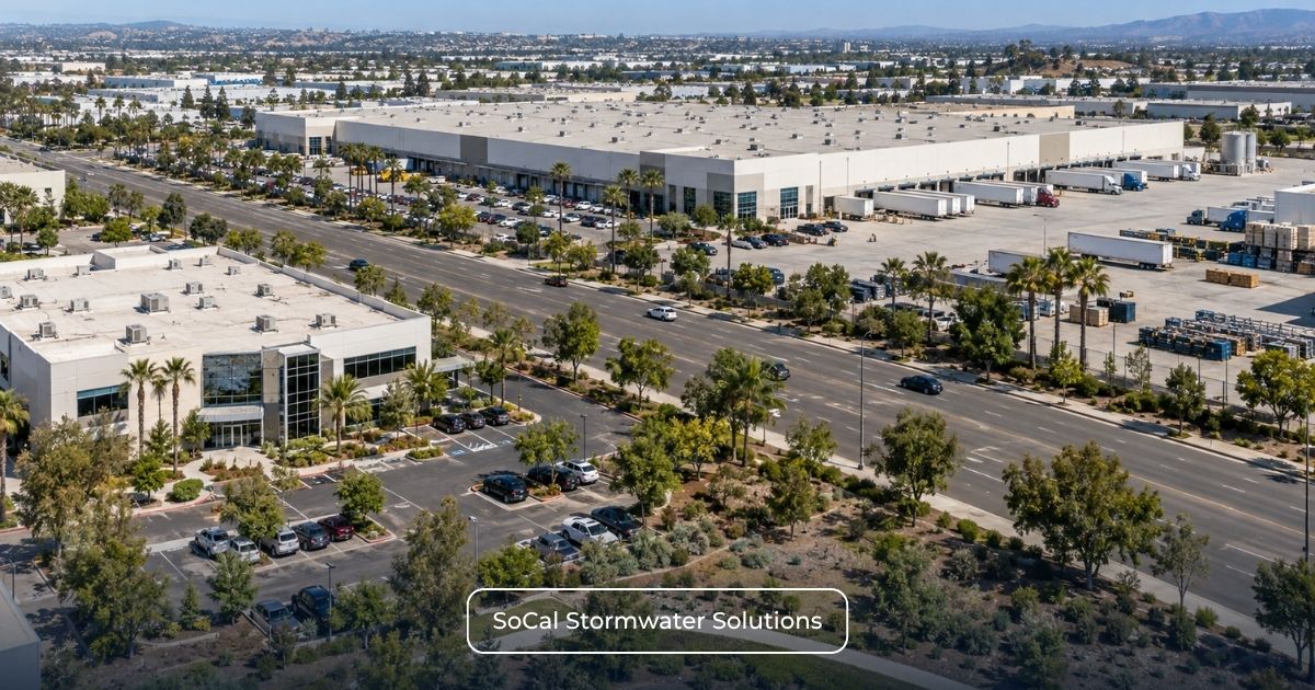
The permit uses impervious surface when a qualifying CII site is not covered by another NPDES stormwater permit.
Consider a hypothetical privately owned commercial property within one of the designated watersheds. The qualifying CII site covers eight acres in total, but its documented impervious surfaces account for only four acres. If the site is not covered by another NPDES stormwater permit, it does not meet the five-acre impervious-surface threshold. This conclusion assumes that the site boundary and surface classifications have been established in accordance with the Order’s definitions.
By contrast, consider an industrial facility with existing Industrial General Permit coverage. If that qualifying CII site covers eight acres in total, it enters the permitted-site branch based on total area. The operator should not reduce the threshold calculation to only the property’s rooftops and pavement.
These examples illustrate the measurement distinction; they do not independently establish coverage. Both properties must still satisfy the CII-site, ownership, watershed, and other permit requirements.
The permitted-site branch also does not mean the entire property automatically receives duplicative regulation. The facility must review what the existing permit covers and how the CII Permit treats any NEC, NONA, or partially covered acreage.
Facilities comparing an existing Industrial SWPPP with the new CII applicability layer can review Industrial SWPPP Services for support with existing permit documents, site conditions, and coverage boundaries.
What counts as impervious surface under the CII Permit?
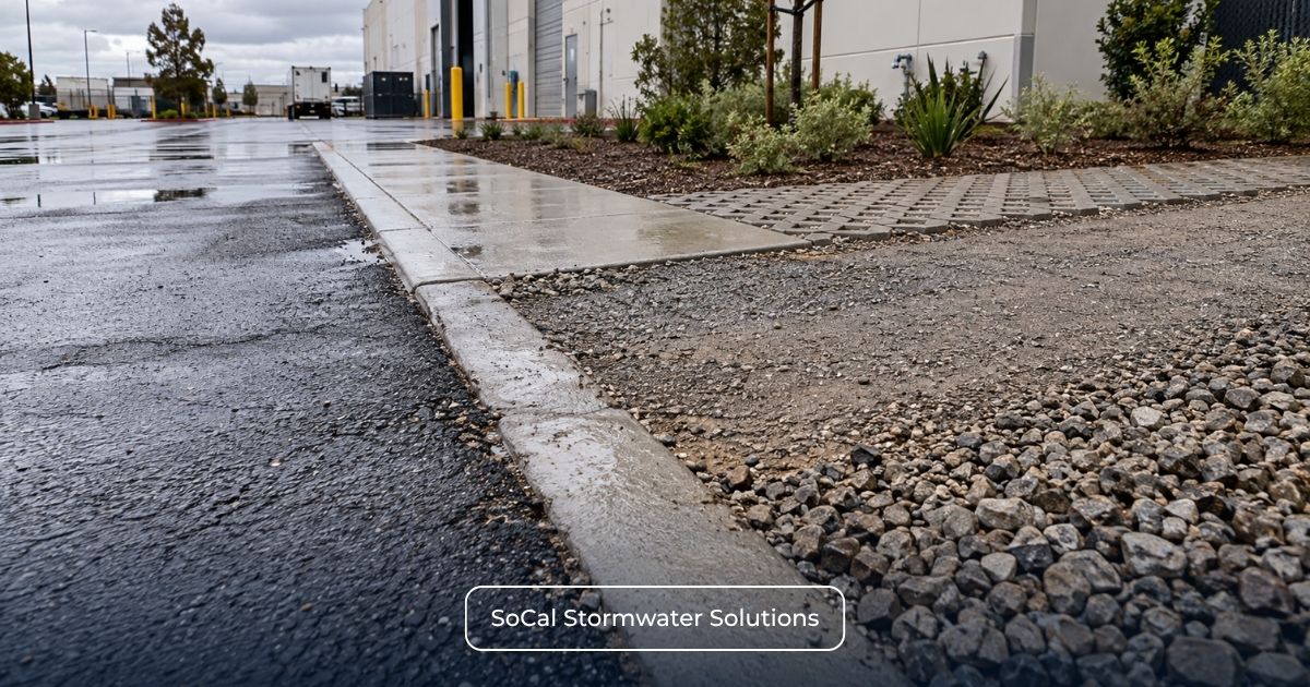
Attachment A defines an impervious surface as a surface that prevents or significantly impedes precipitation from infiltrating into the underlying soil or groundwater.
The permit’s examples include:
- Rooftops.
- Driveways.
- Sidewalks and walkways.
- Patios.
- Storage areas.
- Roads.
- Compacted gravel roads that inhibit percolation.
- Compacted soils.
- Asphalt and concrete.
- Parking lots.
The material label alone does not always determine whether a surface is impervious. The actual infiltration characteristics matter. For example, an uncompacted gravel area should not automatically be counted the same way as compacted gravel installed to prevent infiltration.
Attachment A excludes surfaces designed to allow infiltration, such as landscaped soil and qualifying pervious pavement systems. It also excludes railroad-track ballast underlain by pervious soil or engineered storage media. Semi-pervious surfaces, including gravel and similar stabilization materials, are not considered impervious unless compacted specifically to prevent infiltration. 1
Depending on the property’s characteristics, supporting information for an impervious-area assessment may include:
- Assessor and parcel records.
- Current boundary or civil drawings.
- Survey information.
- Roof plans.
- Paving and hardscape plans.
- Site inspections.
- Recent aerial photography.
- Documentation for pervious pavement or infiltration systems.
- Evidence of the condition and compaction of gravel or soil surfaces.
Attachment A states that maps and aerial photographs can assist in determining the actual impervious nature of a property. They should be used as supporting tools rather than treated as conclusive when surface conditions, parcel boundaries, or scale remain uncertain. 1
For properties where most or all operations occur indoors, see Indoor Operations: Does the CII Stormwater Permit Still Apply? for the separate analysis of indoor operations, rooftops, parking areas, and the no-exposure misconception.
How do existing IGP, NEC, NONA, and partial-coverage sites affect the 5-acre test?
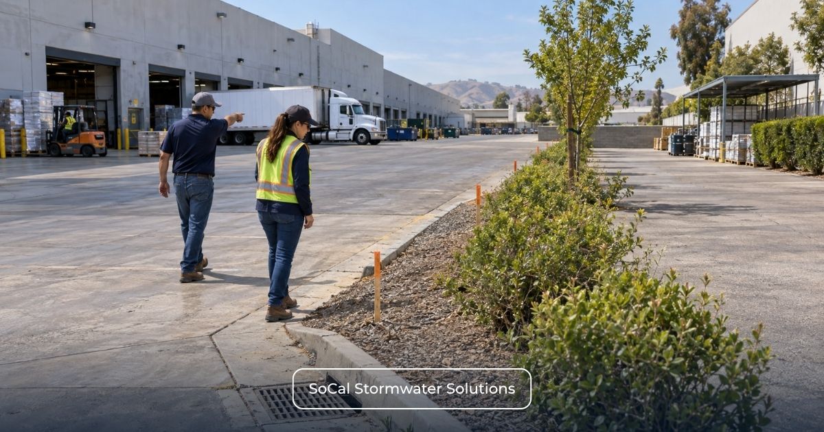
An IGP, NEC, or NONA should not be treated as a shortcut around the CII applicability analysis.
A qualifying CII site covered by the Industrial General Permit or another NPDES stormwater permit generally enters the five-or-more-acres-of-total-area branch. The actual coverage configuration must then be reviewed.
The adopted Order addresses several situations separately:
- Existing IGP or other NPDES coverage: Use the total-area threshold and determine what the current permit covers.
- No Exposure Certification: For qualifying NEC facilities, Section 3.1.3.1 requires CII coverage for the acreage covered by the NEC.
- Notice of Non-Applicability: For qualifying NONA facilities, Section 3.1.3.2 requires CII coverage for acreage not covered by the NONA.
- Partial NPDES Coverage: For qualifying facilities partially covered by another NPDES stormwater permit, Section 3.1.3.3 requires CII coverage for the remaining portion.
- Individual NPDES permit: A separate exception may apply when the individual permit contains requirements at least as stringent as the CII Permit.
These rules do not mean that every IGP, NEC, NONA, or partially covered facility automatically requires CII coverage. The property must still satisfy the applicable CII geography, site, ownership, and acreage criteria.
The detailed overlap analysis belongs in Already Have IGP Coverage, an NEC, or a NONA? How the Region 4 CII Permit Applies and the dedicated NEC, NONA, and existing-NPDES articles.
For facilities reviewing current IGP, NEC, NONA, and permit-registration records, the Industrial Stormwater Permitting Process provides related service context. Existing statuses should not be altered until the current program and potential CII obligation have been evaluated together.
Do contiguous parcels or campuses get counted together?
Potentially. The permit’s CII-site definition can include privately owned contiguous parcels, so parcel lines should not automatically be treated as separate applicability boundaries. Multi-parcel sites may require review of ownership, operational control, land-use classification, shared infrastructure, drainage, and existing NPDES coverage.
Campus and common-development arrangements can involve additional permit-coverage rules. These provisions should not be read as automatically combining every nearby parcel for the five-acre calculation. Complex parcel and campus configurations should be reviewed under the permit’s specific definitions and coverage provisions. 1
Does a 5-acre property automatically need CII Permit coverage?
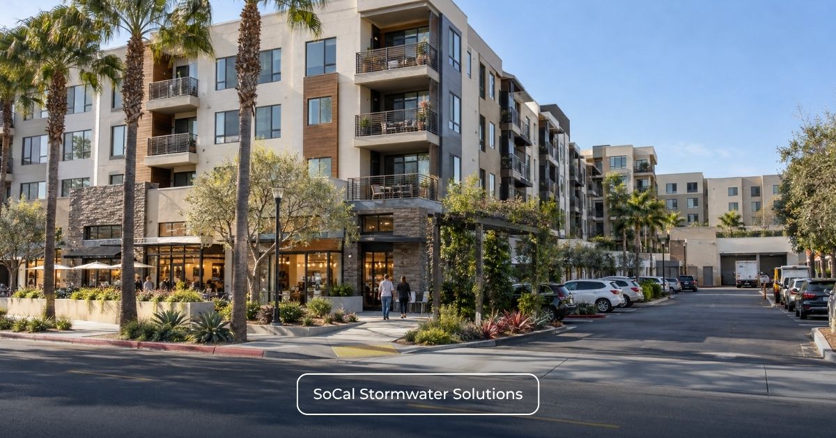
No. A property meeting one of the five-acre measurements does not automatically require coverage.
The Region 4 CII Permit applies only to qualifying privately owned CII sites within:
- The Dominguez Channel/Los Angeles and Long Beach Inner Harbor Watershed.
- The Los Cerritos Channel/Alamitos Bay Watershed.
EPA’s residual designation addresses specified stormwater discharges from certain privately owned CII sites within these two Los Angeles County watersheds. A Los Angeles County address, a Region 4 location, or a five-acre measurement alone is insufficient. 2
Residential facilities are excluded, and mixed-use parcels require application of the permit’s specific CII-site and residential provisions when establishing the qualifying site boundary and acreage. 1
An additional exception applies to certain facilities with an individual NPDES permit. Under section 3.1.4, a facility is not required to obtain coverage under the CII General Permit when its individual NPDES permit contains requirements at least as stringent as the CII Permit. 1
The existence of an individual permit does not establish this exception by itself. Its actual scope, limitations, monitoring, control, reporting, and other requirements must be compared with the CII Permit.
How to Run a Defensible 5-Acre CII Applicability Screen
Use this practical screening sequence before moving into enrollment:
Step 1: Confirm the address and parcel configuration. Collect the address, APNs, site boundary, and contiguous-parcel information.
Step 2: Verify CII classification and private ownership. Confirm the property meets the permit’s qualifying CII-site definition.
Step 3: Confirm watershed location. Verify that the site falls within one of the two covered watershed areas.
Step 4: Document existing permit status. Identify any current NPDES permit, IGP coverage, NEC, NONA, partial coverage, or individual permit.
Step 5: Select the correct acreage test. Use impervious surface for qualifying sites without other NPDES stormwater coverage and total area for qualifying sites with such coverage.
Step 6: Measure and preserve supporting evidence. Use reliable parcel, survey, site-plan, and surface information.
Step 7: Resolve edge cases before enrollment. Review NEC/NONA, partial coverage, campuses, individual permits, and owner/operator responsibility where relevant.
Only after the coverage pathway and responsible party have been established should the facility move into CII enrollment and reporting preparation. SMARTS Permitting and Application Services can support applicable electronic permit workflows after those threshold questions are resolved.
Once coverage is established, see How Much Will the Region 4 CII Stormwater Permit Cost? Fees, Sampling, and Compliance Options for separate budgeting guidance on permit fees, sampling, monitoring, and compliance-option costs.
SoCal Stormwater Solutions can review the address and APNs, current NPDES or IGP status, NEC or NONA records, total acreage, estimated impervious acreage, drainage information, and supporting site documents. The purpose is to identify the appropriate compliance pathway; a technical screening does not guarantee or replace a regulatory determination by the Water Board.
Request a Technical Compliance Review with the property address, parcel information, existing permit status, total acreage, and available impervious-area records.